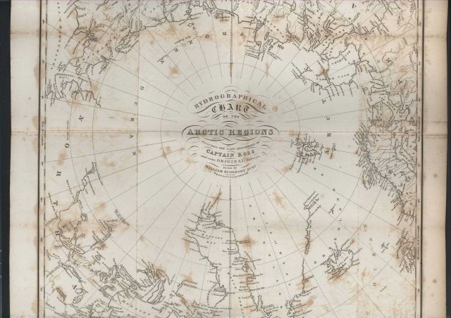
“Hydrographical Chart of the Arctic Regions Including the Late Discoveries of Captain Ross and Some Original Surveys” by William Scoresby, Junr.
Photo Category: Historic Ocean Cartography
Photo Date: 1820
| 640 x 452 | 64.57 KB | |
| 1280 x 903 | 233.25 KB | |
| 1920 x 1354 | 496.42 KB | |
| 3303 x 2328 | 1.57 MB |
| Added On | 18th October 2015 |
| Viewed | 7 viewed |