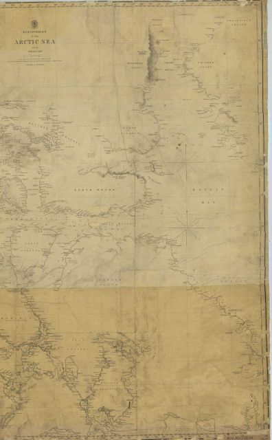
“Discoveries in the Arctic Sea up to 1854” , eastern half including Longitude 96 W to 67 W. Latitude 79 50N to 65 40 N. British Hydrographic Office.
Photo Category: Historic Ocean Cartography
Photo Date: 1854
| 396 x 640 | 38.39 KB | |
| 792 x 1280 | 150.90 KB | |
| 1187 x 1920 | 345.79 KB | |
| 2266 x 3666 | 1.49 MB |
| Added On | 18th October 2015 |
| Viewed | 6 viewed |

")


