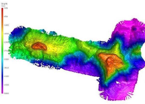
Bathymetry of the Milne-Edwards (left) and Verrill Seamounts, shaded relief map. This shows the entire Central Corner Rise seamount complex including the summits and ridges observed by the ROVs Hercules and Argus. Image resolution is approximately 40 meters.
Photo Location: Atlantic Ocean
Photo Date: 2005 August
| Added On | 18th October 2015 |
| Viewed | 14 viewed |